Lake Louise hikes: every trail, easy to hard
Distance, climbing and time for every trail here, taken from Parks Canada rather than from another guide. Flat walks, tea house climbs and full mountain days.
Updated Mountain Time.
The best hike at Lake Louise for most people is Lake Agnes: 3.9 kilometres each way, 495 metres of climbing, 2.5 to 3 hours there and back, and a tea house at the top. With 4 hours to spare, the Plain of Six Glaciers is the better mountain walk. For a flat hour, the Lake Louise Lakeshore is the one. Every trail is in the table, in order from the flattest to the hardest.
Every trail compared
| Trail | One way | Climb | Time, return | Difficulty |
|---|---|---|---|---|
| Lake Louise Lakeshore | 2.3 km | minimal | 1 hour | easy |
| Moraine Lake Rockpile | 0.7 km loop | 35 m | 30 minutes | easy |
| Lake Agnestea house | 3.9 km | 495 m | 2.5 to 3 hours | moderate |
| Plain of Six Glacierstea house | 5.8 km | 595 m | 4 hours | moderate |
| Fairview Lookout and Saddleback Pass | 3.6 km | 600 m | 3 to 4 hours | moderate |
| Big Beehive | 1.5 km | — | 1 hour from Lake Agnes | hard |
| Larch Valley and Sentinel Pass | 4.5 km | 570 m | 3.5 to 4 hours | hard |
| Little Beehivefrom Lake Agnes | 0.9 km from Lake Agnes | — | 45 min | moderate |
| Fairview Mountainfrom Lakeshore | 5 km | 990 m | 5 to 6 h | hard |
| Moraine Lake Lakeshorefrom Moraine Lake | 1.3 km | minimal | 45 min | easy |
| Consolation Lakesfrom Moraine Lake | 2.9 km | 135 m | 2 h | easy |
| Eiffel Lakefrom Moraine Lake | 5.7 km | 560 m | 4.5 h | hard |
| Wenkchemna Passfrom Moraine Lake | 9.6 km | 1,010 m | 7.5 to 8 h | hard |
| Bow River Loopfrom Village | 7.2 km loop | 35 m | 2 h | easy |
| Tramlinefrom Village | 4.8 km | 235 m | 2.5 h | easy |
| Louise Creekfrom Village | 2.9 km | 200 m | 1.5 h | moderate |
Distances, elevation and times from the Parks Canada map of the Lake Louise area. Checked 2026-08-10.
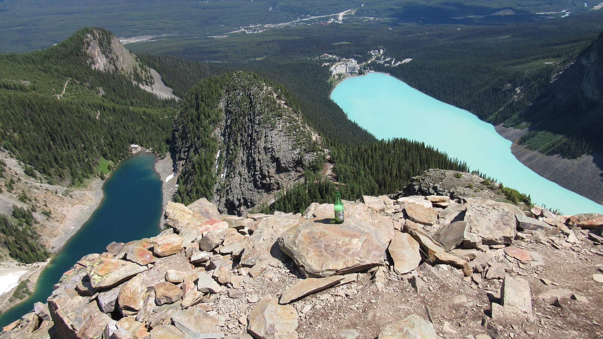

Lake Louise trail map
The map to carry is the Parks Canada map of the Lake Louise area, a free PDF, and it is the source of every figure on this page. Save it to your phone before you leave the village. There is no mobile signal at either tea house, so a map that needs a connection is no map at all up there.
Every trail on the map leaves from one of three places. From the lakeshore in front of the Chateau: Lake Louise Lakeshore, Lake Agnes, Plain of Six Glaciers, Big Beehive, Fairview Lookout and Saddleback Pass, Little Beehive, Fairview Mountain. From Moraine Lake: Larch Valley and Sentinel Pass, Moraine Lake Rockpile, Moraine Lake Lakeshore, Consolation Lakes, Eiffel Lake, Wenkchemna Pass. From the village: Bow River Loop, Tramline, Louise Creek.
Two of the lakeshore trails are reached through another. The Big Beehive and the Little Beehive both start at Lake Agnes, so you climb to the tea house first. Fairview Mountain is reached over Saddleback Pass. On the Moraine Lake side, Eiffel Lake and Wenkchemna Pass branch off the Larch Valley trail. Moraine Lake itself is 14 kilometres from the Lake Louise lakeshore by Moraine Lake Road, and the village sits below both lakes with the Tramline and Louise Creek trails as the walking links up to the water.
Trail conditions today
The high trails are in their summer season. Parks Canada publishes the trail report that says which trails are open, which carry a bear warning and which need a minimum group size, and it is the only source that does. Read it on the morning you walk, not the week before.
Trail report
Check the warnings before you leave the village
Bear warnings, minimum group size requirements and closures are put in place through the season. Check the Parks Canada trail report on the day you walk. Parks Canada advises avoiding high elevation trails from November to June because of avalanche risk.
The report itself is on the Parks Canada site: Lake Louise area trail conditions. This page carries the season rules and the trail figures. It does not carry the live closures, because they change on the day, and a stale closure is worse than none. The conditions page has the weather, the webcams and the road today.
Easy hikes
The four trails below need no real climbing. Two start in front of the Chateau, and two start at Moraine Lake, which means a shuttle seat before anything else.
Lake Louise Lakeshore
2.3 km one way, minimal climb, 1 hour return, easy. Flat the whole way along the north shore and walkable in ordinary shoes. It is the only trail here that most visitors can do without thinking about it. There is no loop: you walk to the far end and come back the same way.
Moraine Lake Lakeshore
1.3 km one way, minimal climb, 45 min return, easy. Flat along the shore. Shuttle required to reach the start. The trail follows the shore away from the canoe dock, and it is the quiet half of a Moraine Lake visit once the Rockpile crowd is behind you.
Moraine Lake Rockpile
0.7 km loop, 35 m of climbing, 30 minutes return, easy. The short climb to the view of the Valley of the Ten Peaks. It is the walk almost everyone at Moraine Lake does, and the reason the first shuttle of the day is the one to book.
Fairview Lookout
Fairview Lookout is 1.2 kilometres one way with 100 metres of climbing and 65 metres of descent, and takes about 45 minutes there and back. It is the short half of the Fairview Lookout and Saddleback Pass page, and it leaves from the same place. The view is back across the lake to the Chateau, which is the angle the lakeshore trail never gives you.
Half-day hikes to the tea houses
The two tea house trails are the half-day hikes, and the tea houses page compares the two in detail. Both open early June to early October. Lake Agnes Tea House runs 8 am to 4 pm and Plain of Six Glaciers Teahouse runs 9 am to 5 pm. Both are best paid in cash. Lake Agnes publishes no card policy; the Plain of Six Glaciers takes cards only when its solar power allows and asks for Canadian cash as a backup. There is no mobile signal at either, so bring notes.
Lake Agnes
3.9 km one way, 495 m of climbing, 2.5 to 3 hours return, moderate. The one everybody does. The path is wide and the climb is steady rather than steep, with the tea house sitting at the outlet of the lake at the top. Start before the tea house opens and you have the lake to yourself for a while.
Plain of Six Glaciers
5.8 km one way, 595 m of climbing, 4 hours return, moderate. The better mountain scenery and fewer people. It follows the lakeshore to the end of the lake before it climbs, so the first part is flat and the climb comes late. The teahouse is the turnaround for most people.
Little Beehive
0.9 km from Lake Agnes, climb not published, 45 min return, moderate. Looks out over the Bow Valley rather than down onto the lake. It is the easier of the two Beehives and the one to add when Lake Agnes has left you with an hour and some legs.

Full-day hikes
Three routes turn a tea house climb into a full day. None of them is a scramble, and all three start with the same climb from the lakeshore.
Big Beehive
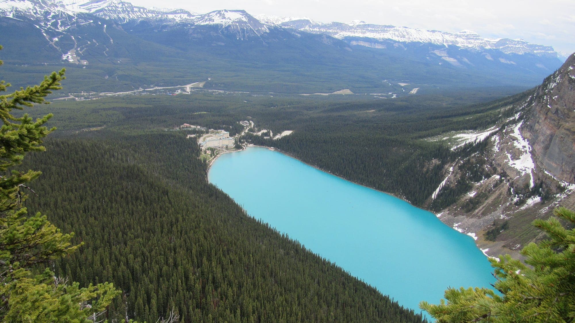
1.5 km from Lake Agnes, climb not published, 1 hour from Lake Agnes, hard. That makes the full day about 5.4 kilometres each way from the lakeshore, and four to five hours in total. The switchbacks are the hardest sustained climb at Lake Louise, and they come after you have already climbed to the tea house. The view is straight down the length of the lake.
Saddleback Pass and Fairview Mountain
3.6 km one way, 600 m of climbing, 3 to 4 hours return, moderate. Saddleback is the quiet alternative to the tea house trails, because there is nothing to buy at the top and almost nobody walks it. Fairview Mountain continues above the pass: 5 km one way, 990 m of climbing, 5 to 6 h return, hard. Loose scree above Saddleback Pass. A proper mountain day.
The Highline loop
The Highline trail links this valley across to Lake Agnes, making a loop of 14.3 kilometres that takes about five hours and takes in both tea houses. It links the two tea house valleys across the slope between them, so you climb once and see both. Do it in either direction, and carry cash for two tea houses rather than one.
.jpg)
Moraine Lake hikes
Moraine Lake Road is closed to personal vehicles year-round. Every hike below starts with a shuttle seat, a licensed operator or a bicycle, and the Moraine Lake shuttle page explains how to get one. The Moraine Lake page covers the lake itself. Larch Valley is the only Moraine Lake trail with a page of its own here; the others have their figures in the table and below.
Larch Valley and Sentinel Pass
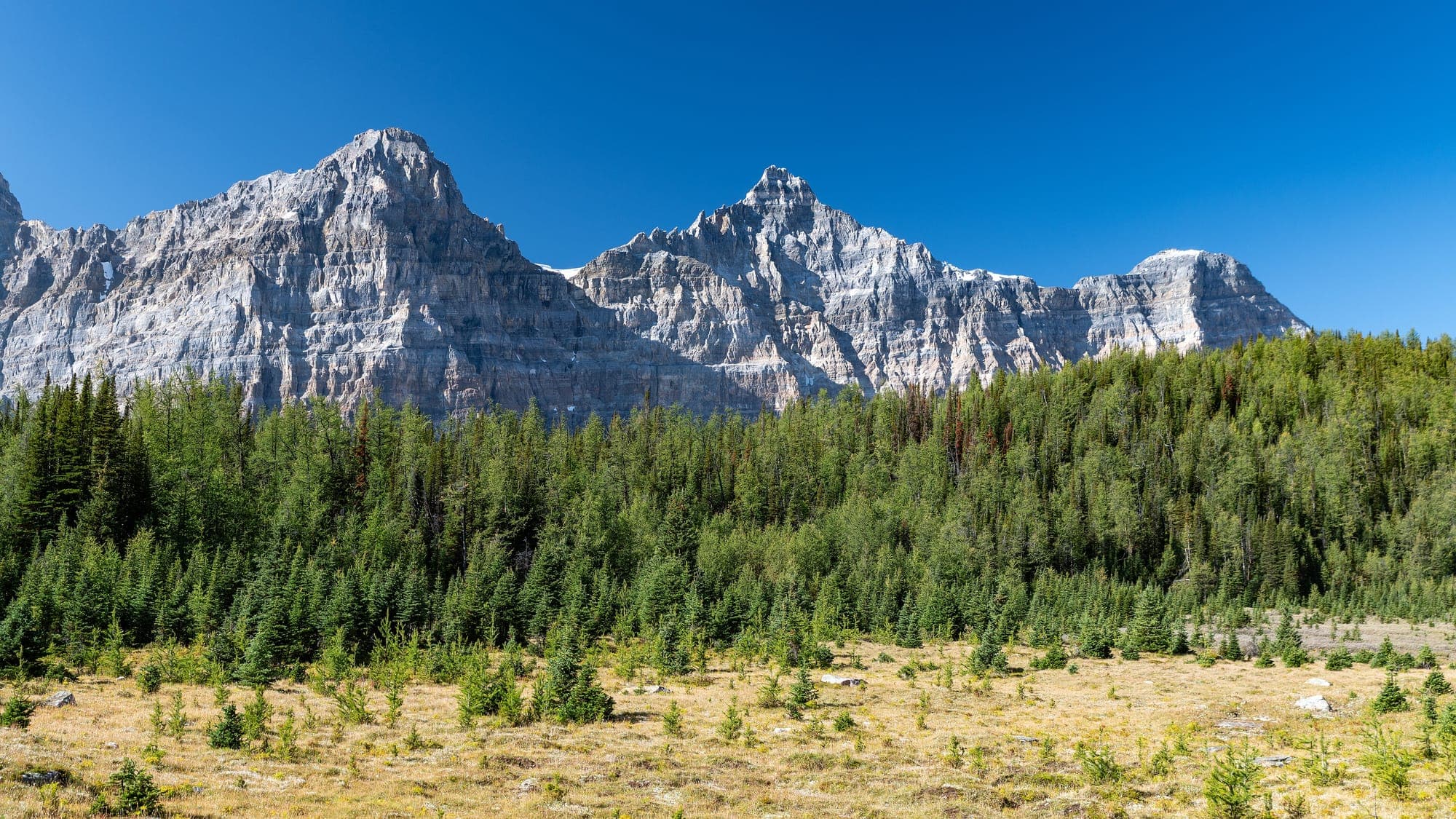
4.5 km one way, 570 m of climbing, 3.5 to 4 hours return, hard. Sentinel Pass is the notch at the head of Larch Valley, another 1.1 kilometres and 180 metres above the valley floor, on loose scree. The larches turn gold for about two weeks each September, and this is where people come to see them. In that fortnight the shuttle sells out at once.
Consolation Lakes
2.9 km one way, 135 m of climbing, 2 h return, easy. Boulder field early on, then a quiet valley almost nobody walks. It leaves from the same trailhead as the Rockpile and turns away from the lake, which is why it stays empty.
Eiffel Lake
5.7 km one way, 560 m of climbing, 4.5 h return, hard. Branches off the Larch Valley trail and stays high and open. It shares the Larch Valley switchbacks and the same bear rules, then keeps going where the larch crowd turns for Sentinel Pass.
Wenkchemna Pass
9.6 km one way, 1,010 m of climbing, 7.5 to 8 h return, hard. The longest day here, past Eiffel Lake to the pass at the valley head. It is a mountain day, not a walk, and it needs the first shuttle of the morning and a plan for the last one back.
How to choose
Choose by the time you have, then by the climb you want, then by whether you want a tea house at the end. The table sorts every trail by those three questions.
| Under an hour | Lake Louise Lakeshore, Moraine Lake Lakeshore, Rockpile, Fairview Lookout |
|---|---|
| Half a day | Lake Agnes, Plain of Six Glaciers, Consolation Lakes |
| A full day | Big Beehive, Fairview Lookout and Saddleback Pass, Larch Valley and Sentinel Pass |
| A long mountain day | Fairview Mountain, Eiffel Lake, Wenkchemna Pass |
| A tea house at the top | Lake Agnes, Plain of Six Glaciers, the Highline loop for both |
On fitness, the difficulty column is the honest guide. Easy means flat or nearly so. Moderate means a sustained climb on a good path, which is the two tea house trails and Saddleback. Hard means either the switchbacks above Lake Agnes, or the long days out of Moraine Lake, where the time on your feet matters more than any single steep section.
If you want a tea house, the choice is between the shorter, steeper climb to Lake Agnes and the longer, gentler walk to the Plain of Six Glaciers. If you want nobody around, walk to Saddleback Pass or Consolation Lakes. If you want the photograph, it is the Rockpile at Moraine Lake or the Big Beehive above Lake Louise, and both cost you a shuttle seat or a climb.
Best time of year to hike
July, August and the first half of September are the months when every trail on this page is open at once. Everything above the lakeshore holds snow into late June, and the ground near both tea houses can still be under it when the valley is green. The tea houses themselves open early June to early October.
The colour usually arrives in the second week of September, peaks in the third, and is gone by the first week of October. Cold nights bring it on and a windy week takes it away early. That fortnight is the busiest of the year at Moraine Lake, and the road is open to the shuttles from 1 June 2026 to 12 October 2026.
The best time to visit page puts the hiking months beside the parking, the crowds and the weather, month by month, and the weather page has the forecast for the day you are here.
Hiking in winter
The lakeshore is walked all winter and it is often the best time to do it. The lake freezes hard, the crowd disappears, and the light is low all day. Wear something with grip. The packed snow on the first stretch turns to ice under a thousand pairs of boots, and the drop to the lake is right beside you.
Parks Canada advises avoiding high elevation trails from November to June because of avalanche risk. In practice that means the lakeshore and the village trails are the winter walks, and the tea house trails and everything above them are not. Moraine Lake Road is trackset for cross-country skiing, November to May, so Moraine Lake in winter is a ski, not a hike.
The winter page covers what the season looks like here, and the skating page covers the rink on the lake, which is the winter reason most people walk the shore at all.
Bears, group sizes and closures
Yes, there are grizzly bears here, and black bears too. Bear warnings, minimum group size requirements and closures are put in place through the season. Check the Parks Canada trail report on the day you walk.
Parks Canada puts bear warnings, minimum group size requirements and closures in place on these trails through the season. In practice that often means a group of four in autumn, when the bears are feeding hard on buffaloberry. The rule is enforced at the trailhead and it is not negotiable. Check the Parks Canada trail report on the morning you go, and be ready to join another party at the sign.
This page does not repeat a bear spray rule, because the data it is built from carries the Parks Canada wording on warnings, group sizes and closures and nothing else. The trail report and the sign at the trailhead carry the requirement of the day, and the sign is the one that gets enforced.
Getting to the trailheads without a car
Every lakeshore trail starts within a few hundred metres of the Chateau, which the Parks Canada shuttle reaches. The shuttle page has the fares, the reservation windows and the first departure, and the parking page has what happens to the lakeshore lot in summer.
From the village you can also walk up. The Tramline is 4.8 km, 235 m of climbing and 2.5 h. The old railway grade from the village up to the lake. Bikes permitted. Louise Creek is 2.9 km, 200 m and 1.5 h. The steeper, more direct walking route from the village to the lake.
Moraine Lake Road is closed to personal vehicles year-round. The exceptions are registered guests of Moraine Lake Lodge and holders of a government-issued accessible parking placard. Everyone else arrives by Parks Canada shuttle, by licensed operator or by bicycle, and the Moraine Lake shuttle page compares the three.
Common questions
What is the best hike at Lake Louise?
What is the most popular hike at Lake Louise?
How long is the walk around Lake Louise?
Are there easy trails at Lake Louise?
Is the tea house hike hard?
Are there grizzly bears at Lake Louise?
Can I get to the trailheads without a car?
Do I need cash on the trail?
Distances, elevation and times come from Parks Canada: the Lake Louise area trails page and the 2024 map of the Lake Louise area, checked 2026-08-10. Warnings and closures come from the Parks Canada trail report, and the Moraine Lake Road rules from Parks Canada, checked 2026-09-09.